
Foundation Model for Geospatial Analysis
Short description of the innovation study
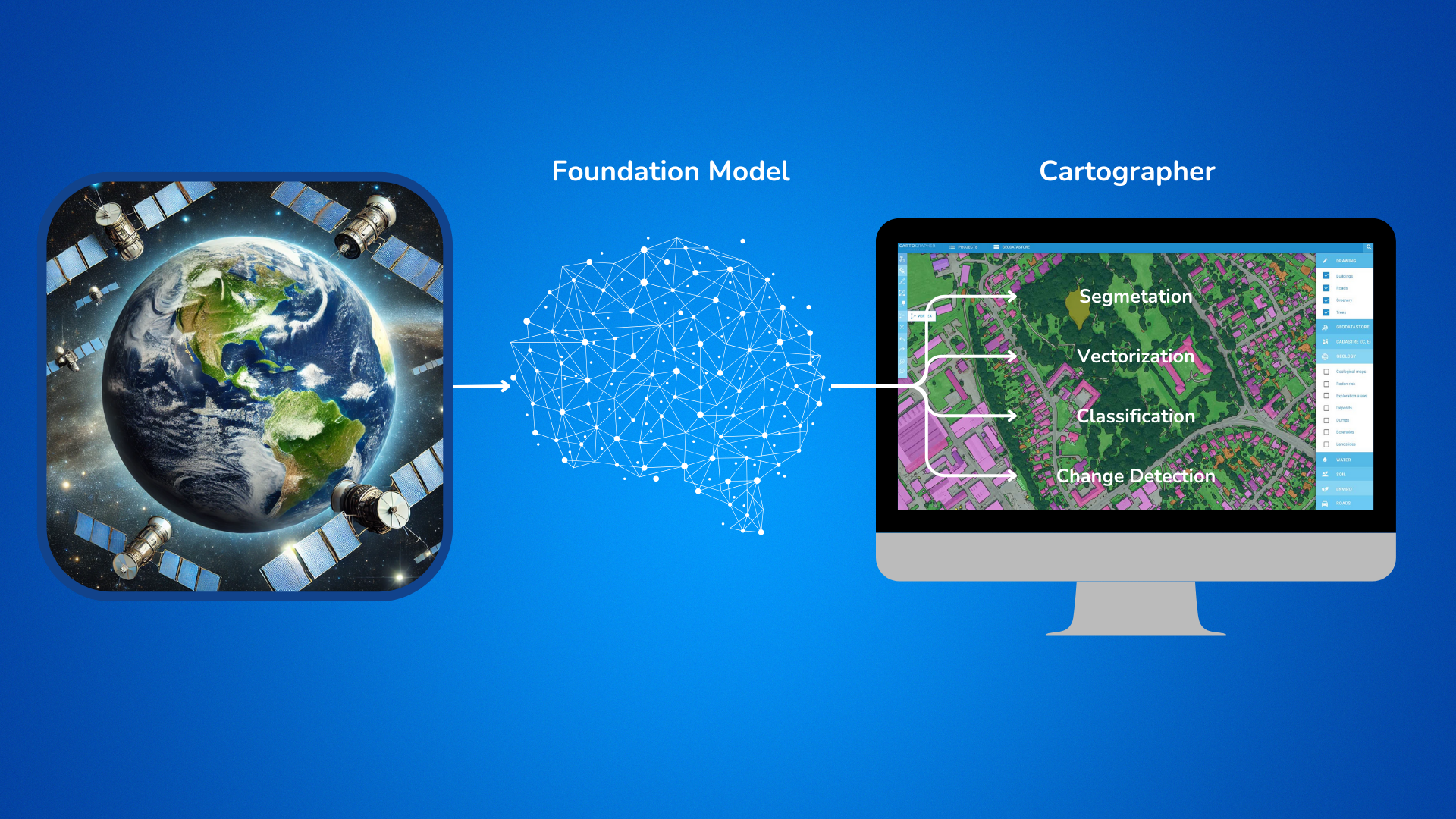
This study aims to develop and integrate a new foundation model for advanced geospatial data analysis into the existing Cartographer platform. The challenge involves automating high-resolution feature extraction across diverse geographic regions while minimising manual labeling requirements. By leveraging large-scale HPC resources and a Vision Transformer-based architecture, the study pre-trains on extensive datasets, enabling rapid fine-tuning for tasks such as segmentation, vectorisation, and super-resolution. The resulting model will enhance Cartographer’s ability to provide scalable, accurate outputs, reducing operational bottlenecks for end-users in government, environmental, and commercial sectors. Ultimately, this innovation will streamline geospatial workflows, cut costs, and support data-driven decision-making across multiple industries.
Organisations involved:
End User: Geodeticca Vision (GVIS)
HPC provider: MareNostrum 5, Centre of Operations of the Slovak Academy of Sciences - Devana
Technology expert: Centre of Operations of the Slovak Academy of Sciences, organizational unit Computing Centre SAS (COO SAS)